This was a really fun project centered around the Southwest Corridor Park. I learned to use QGIS to analyze the area, identify a problem, and develop a solution.
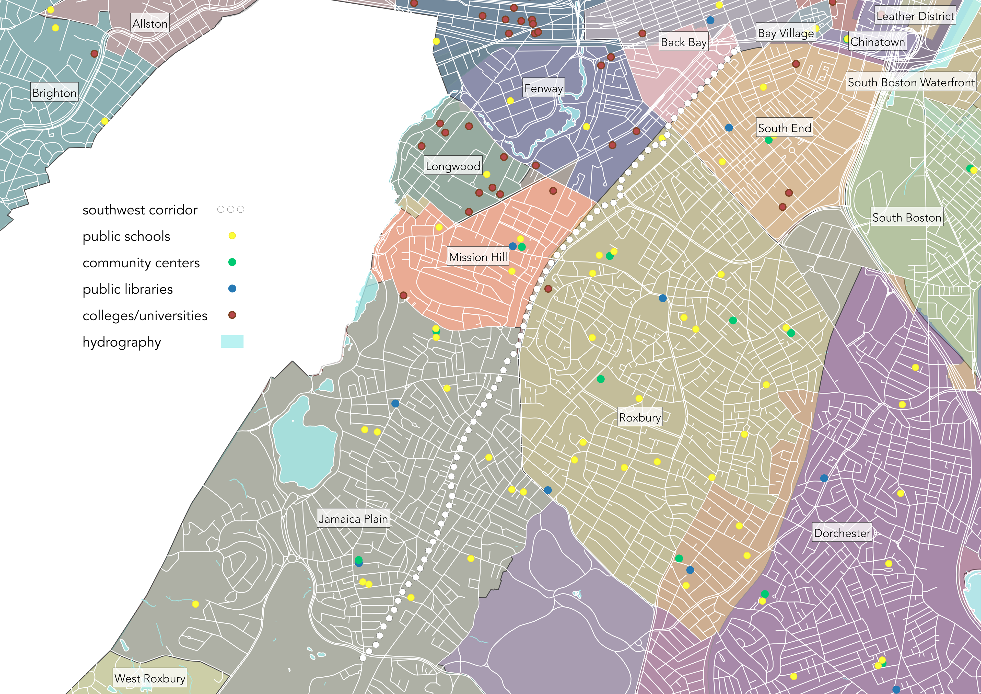
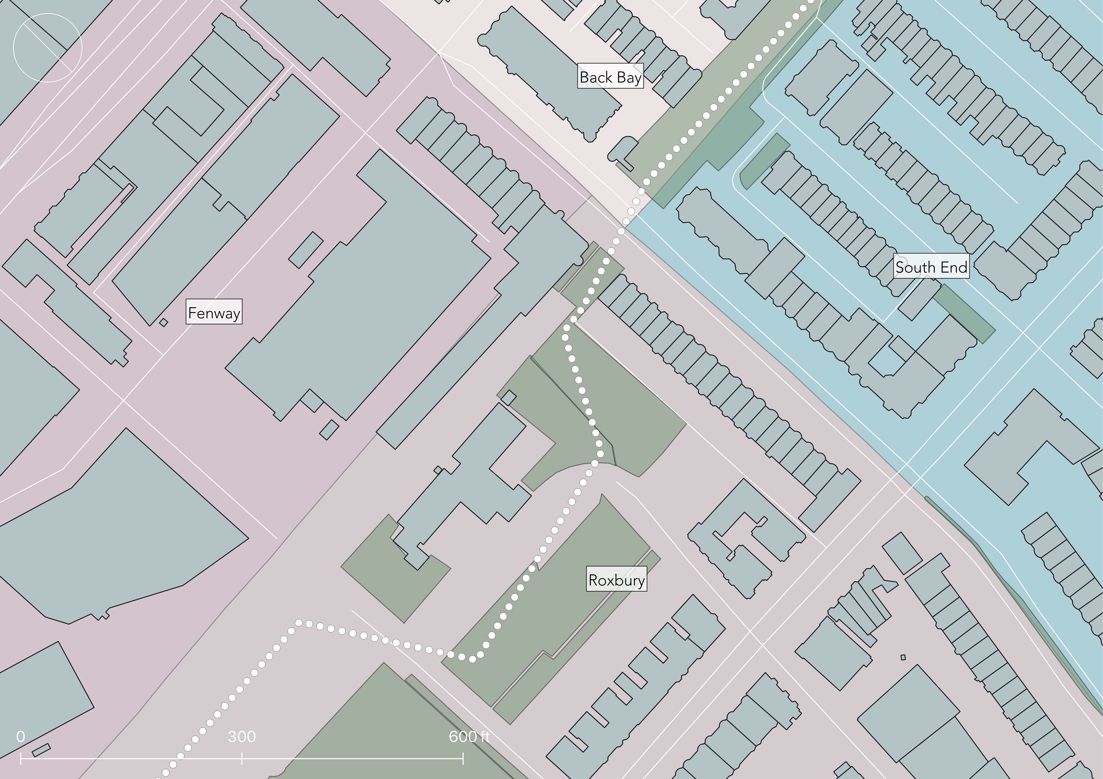
I selected the area at Massachusetts Avenue to focus on. I was interested in this area because it's comprised of four different zones (and four difference zoning codes to consider), and because when I walked through that area I felt that it would benefit the most from a new architectural project.
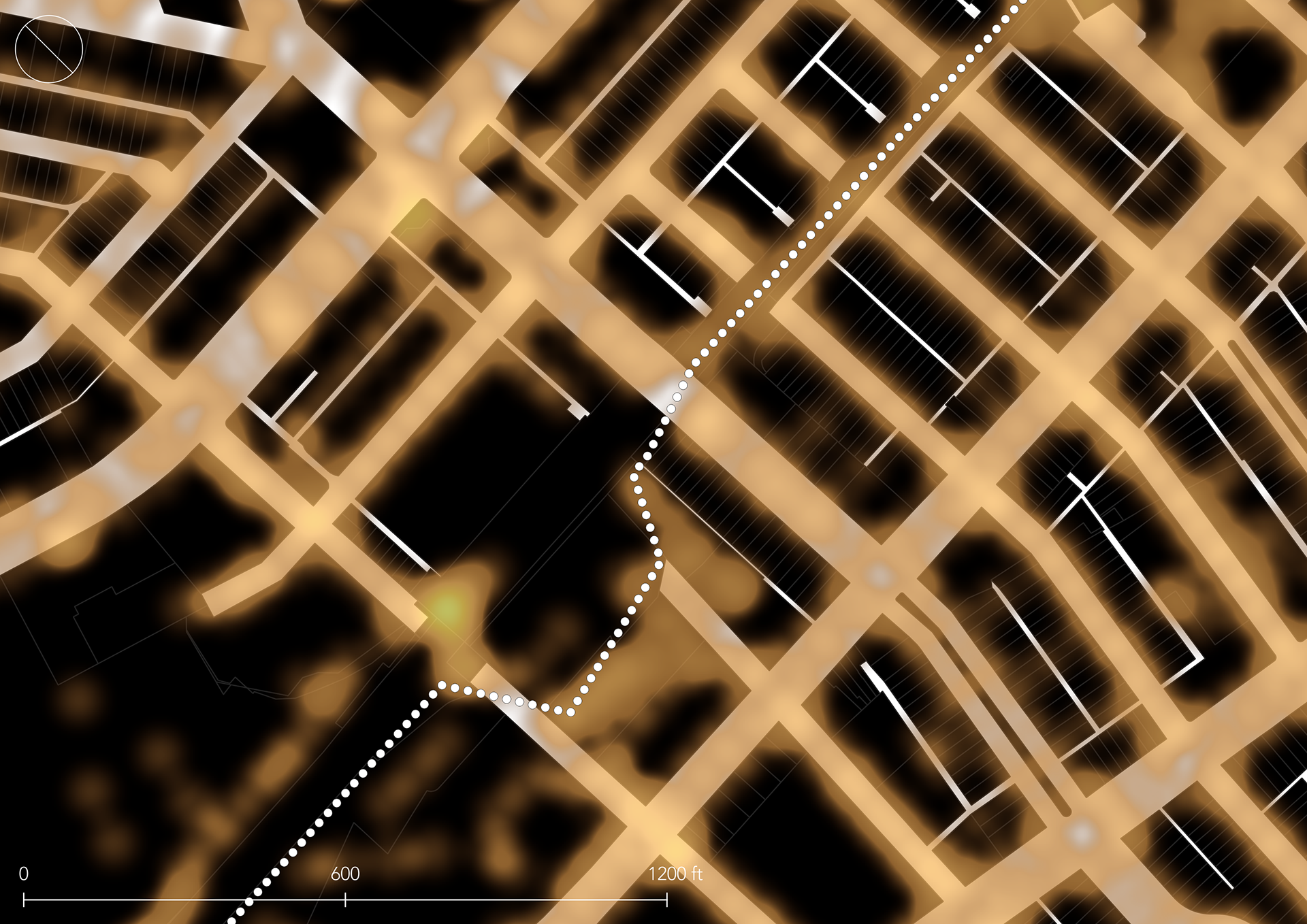
Here's a map I made of every streetlight in the area, showing the best- and worst-lit spots.
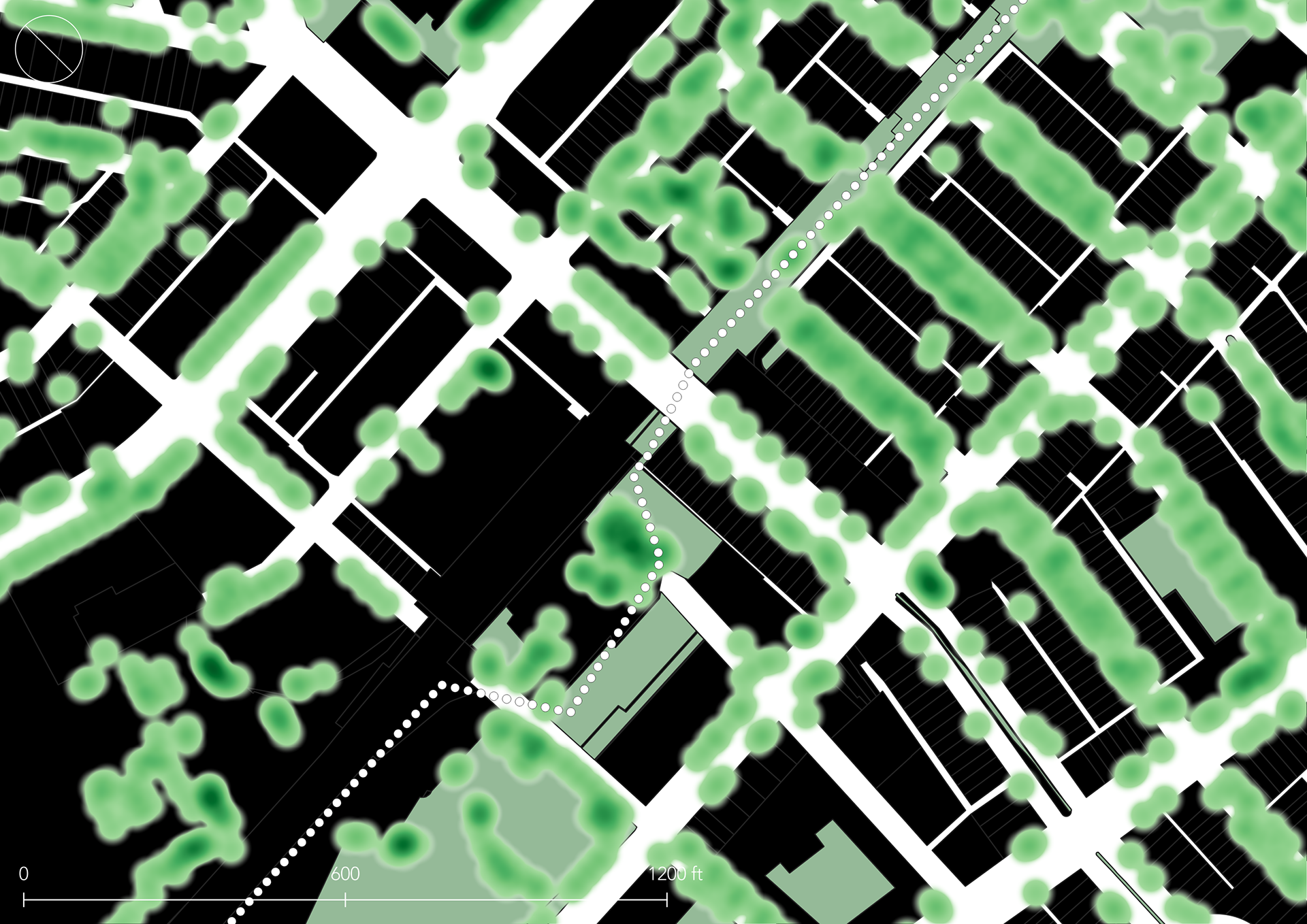
Another map showing all of the trees.
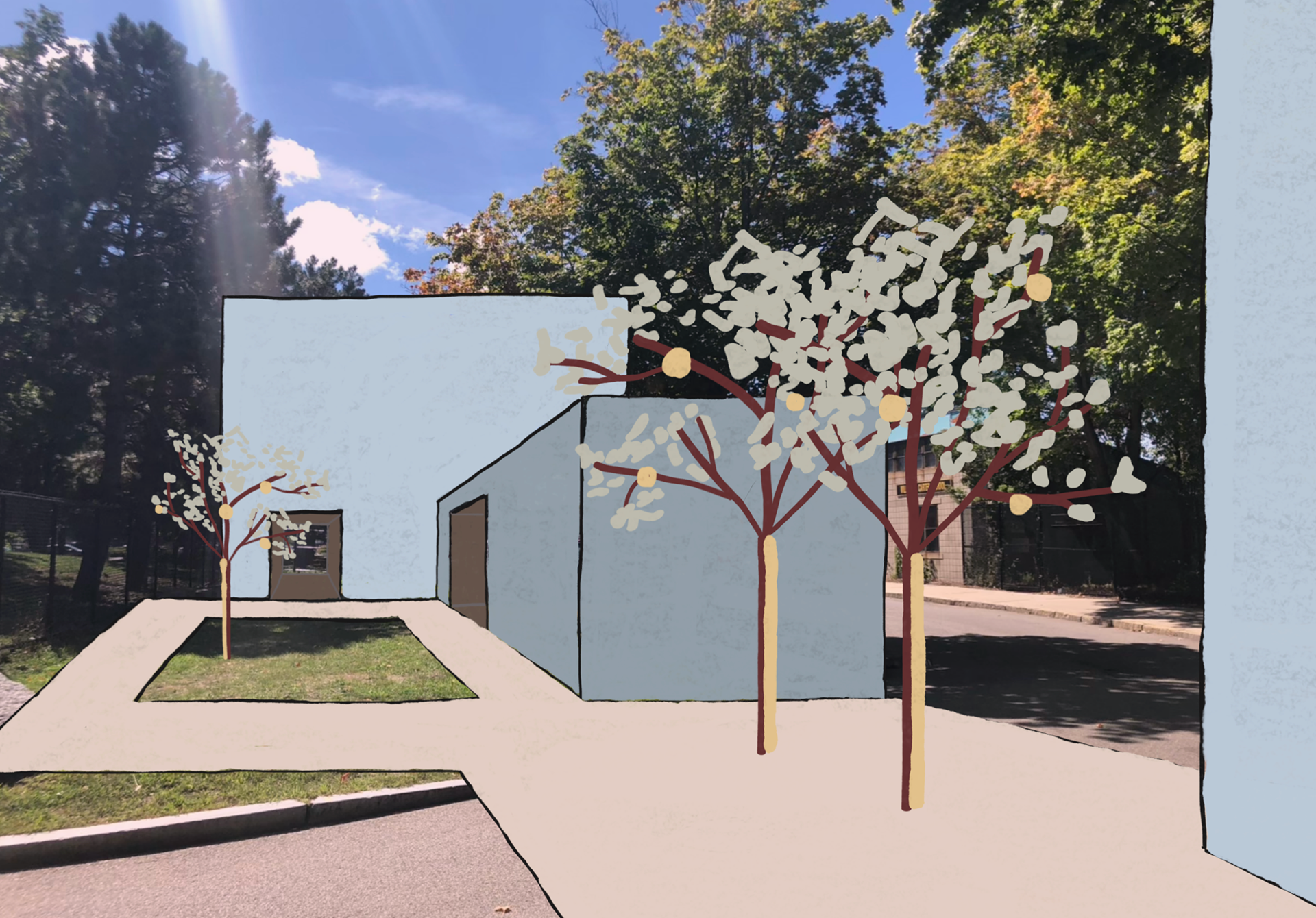
The result of my analysis was an idea for a small, simple structure in the open space between the station and the school. The main intervention would be to plant more trees in the area with lights on the branches, and add lights to existing trees as well to brighten up the space.